Most rivers flow south on a world map. The Nile is different - it flows north. That’s because the land in northeast Africa actually slopes downward toward the Mediterranean Sea, so the river follows gravity in what looks (to us) like the wrong direction.
The Nile stretches about 6,650 kilometres, edging out the Amazon for the title of longest river on Earth. (Some scientists argue the Amazon is longer, depending on where you start measuring - the contest is surprisingly close.) Either way, the Nile passes through 11 different countries.
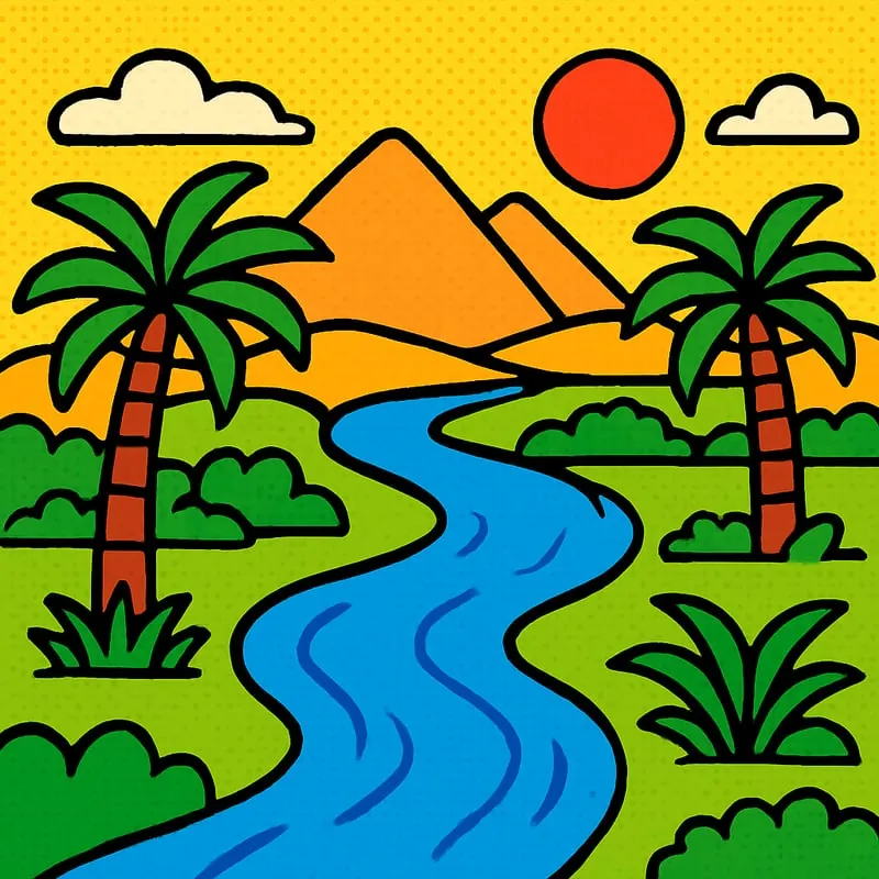
Ancient Egypt was only possible because of the Nile. Once a year it used to flood, dumping rich black mud on the desert and turning a strip of sand into farmland. That yearly flood fed the country for over 3,000 years until the Aswan High Dam stopped it in 1970.